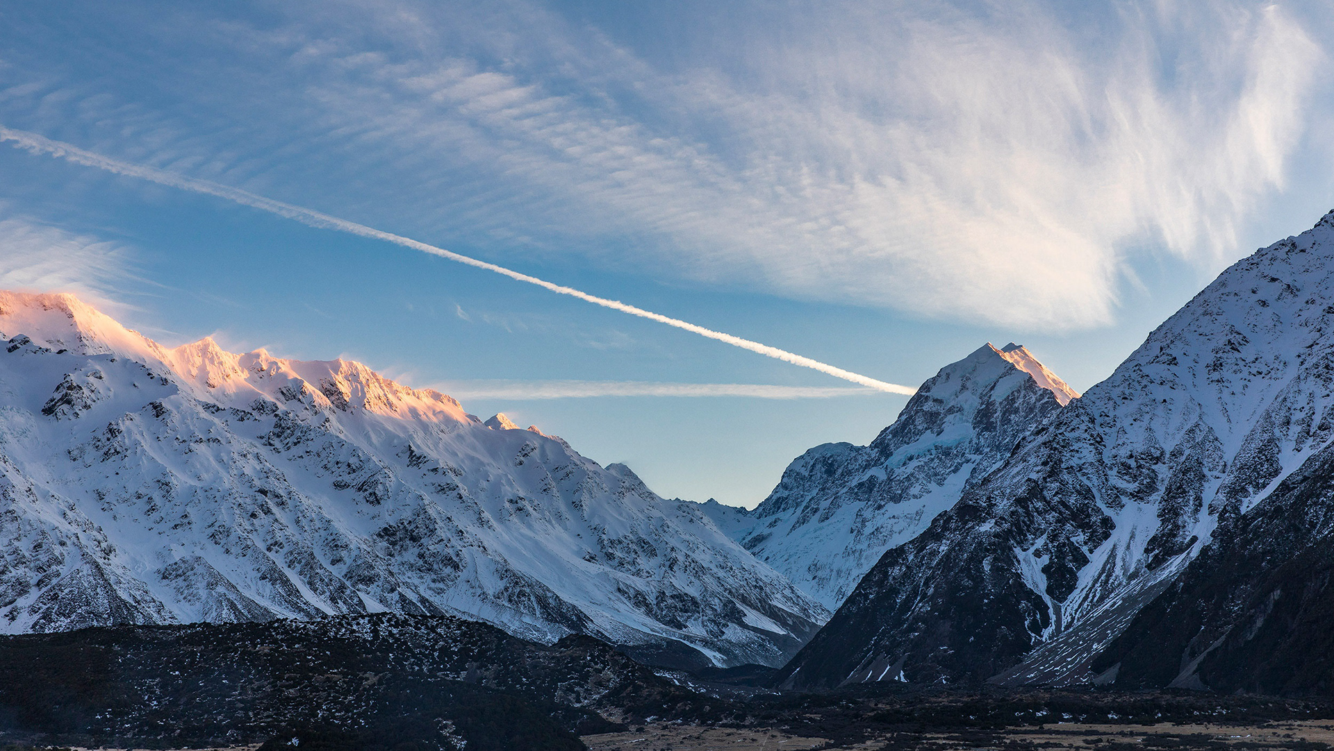
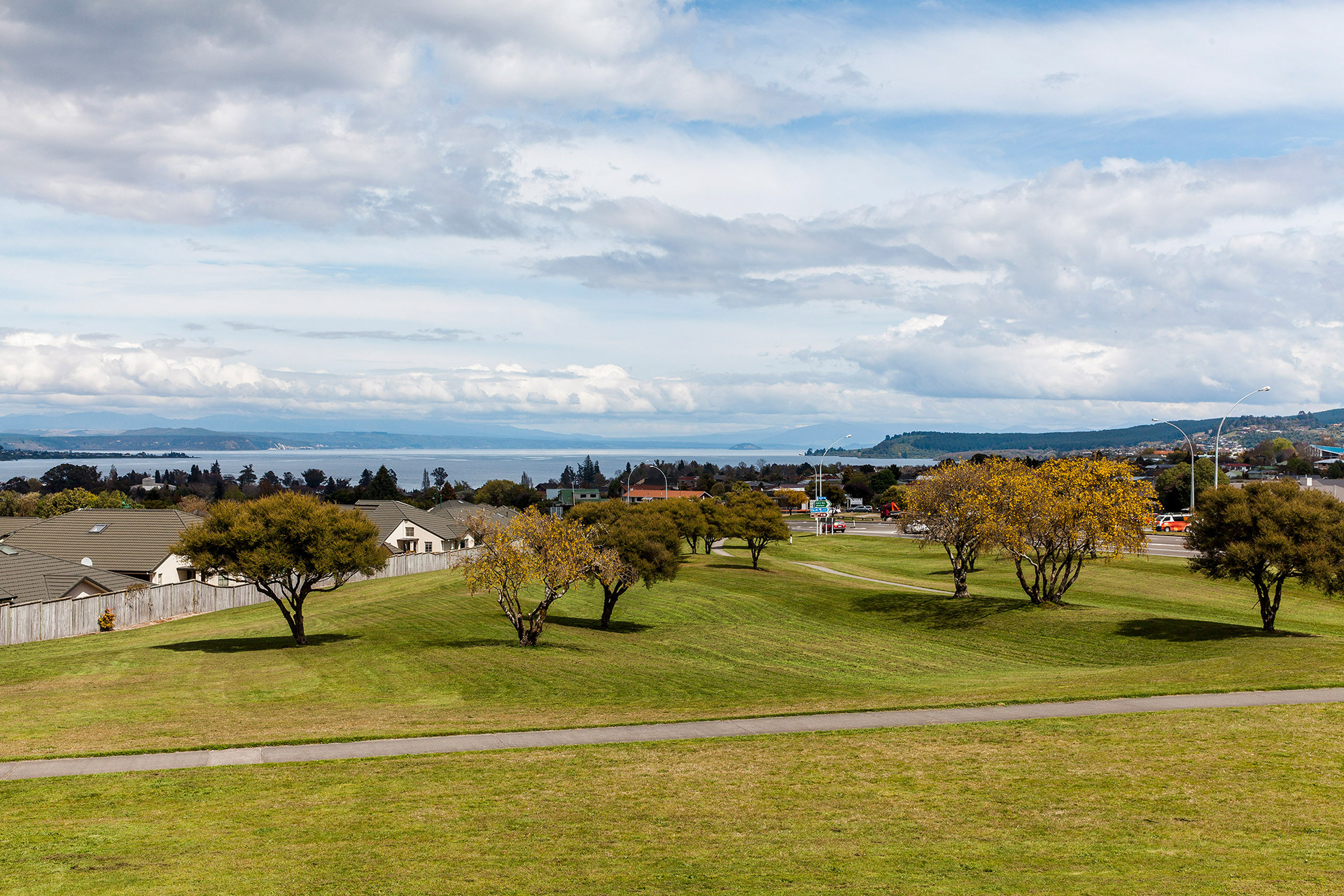
Taupo is located on the northeastern shore of Lake Taupo, New Zealand's largest lake, which is itself in the caldera of the Taupo Volcano. The Waikato River drains the lake and runs through the town, separating the CBD and the northern suburbs. The river flows over the spectacular Huka Falls, a short distance north of the town, Taupo is a centre of volcanic and geothermal activity, and hot springs suitable for bathing are located at several places in the vicinity. The volcanic Mount Tauhara lies six kilometres (4 mi) to the east.

Compound volcano in Tongariro National Park & one of 3 peaks on the Tongariro Alpine Crossing hike.
Lake Taupo

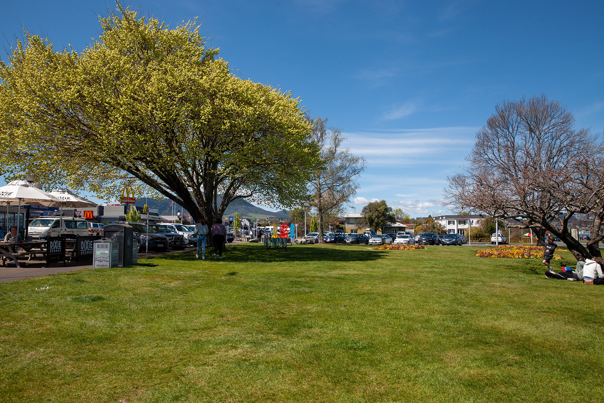
The world's coolest McDonalds.

Art in the Park

A flowers tree

Taupo Sign
City of Taupo
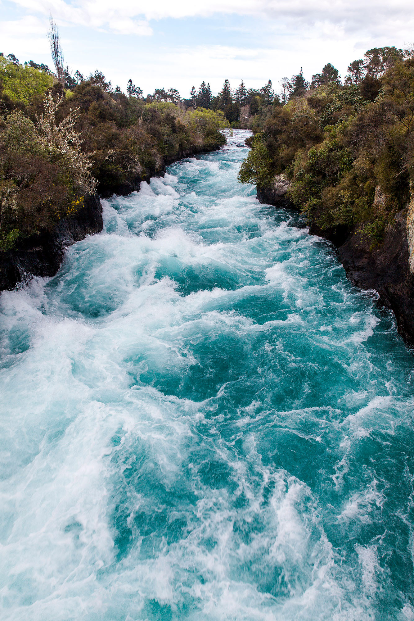
The Waikato River

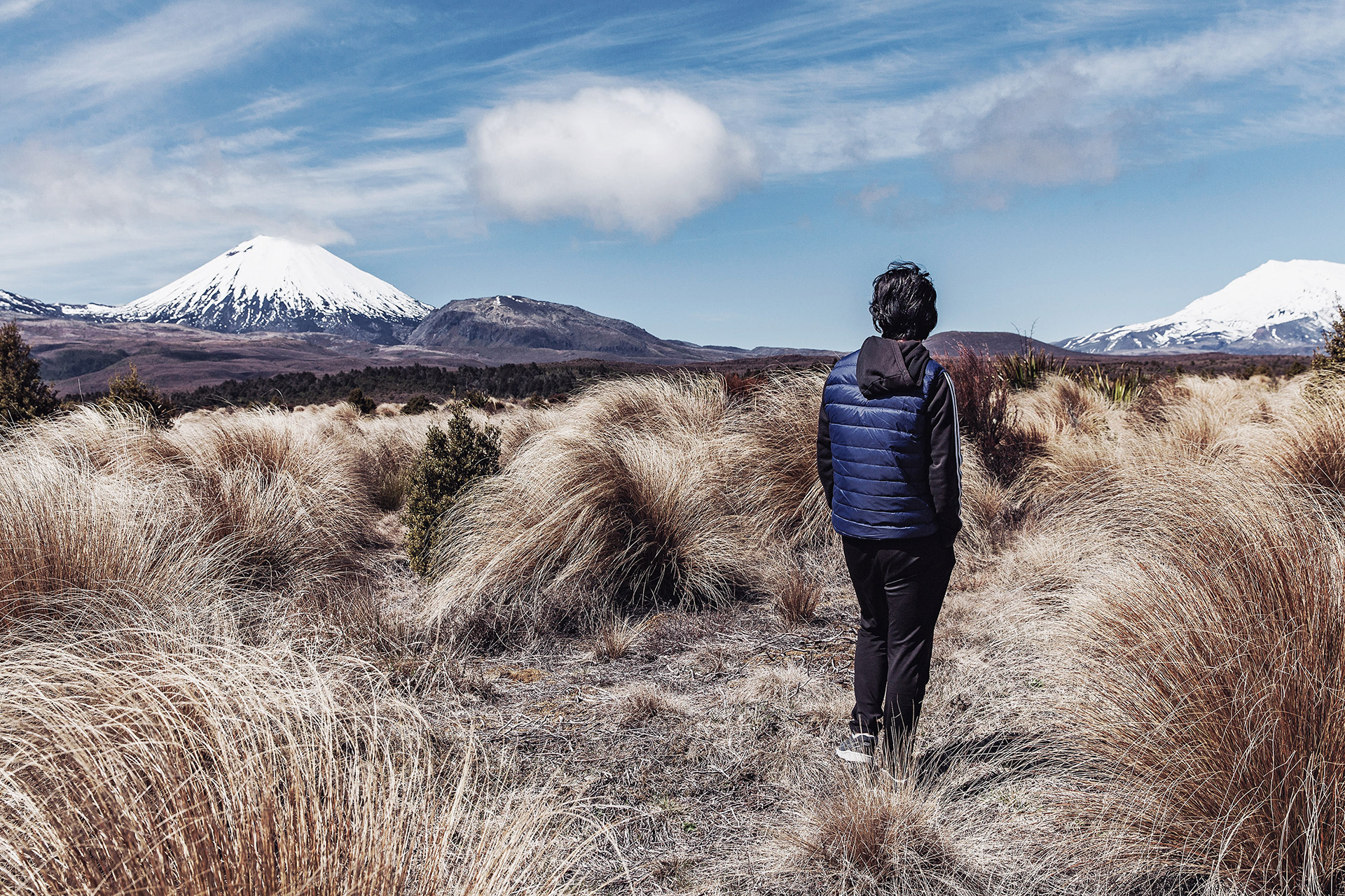
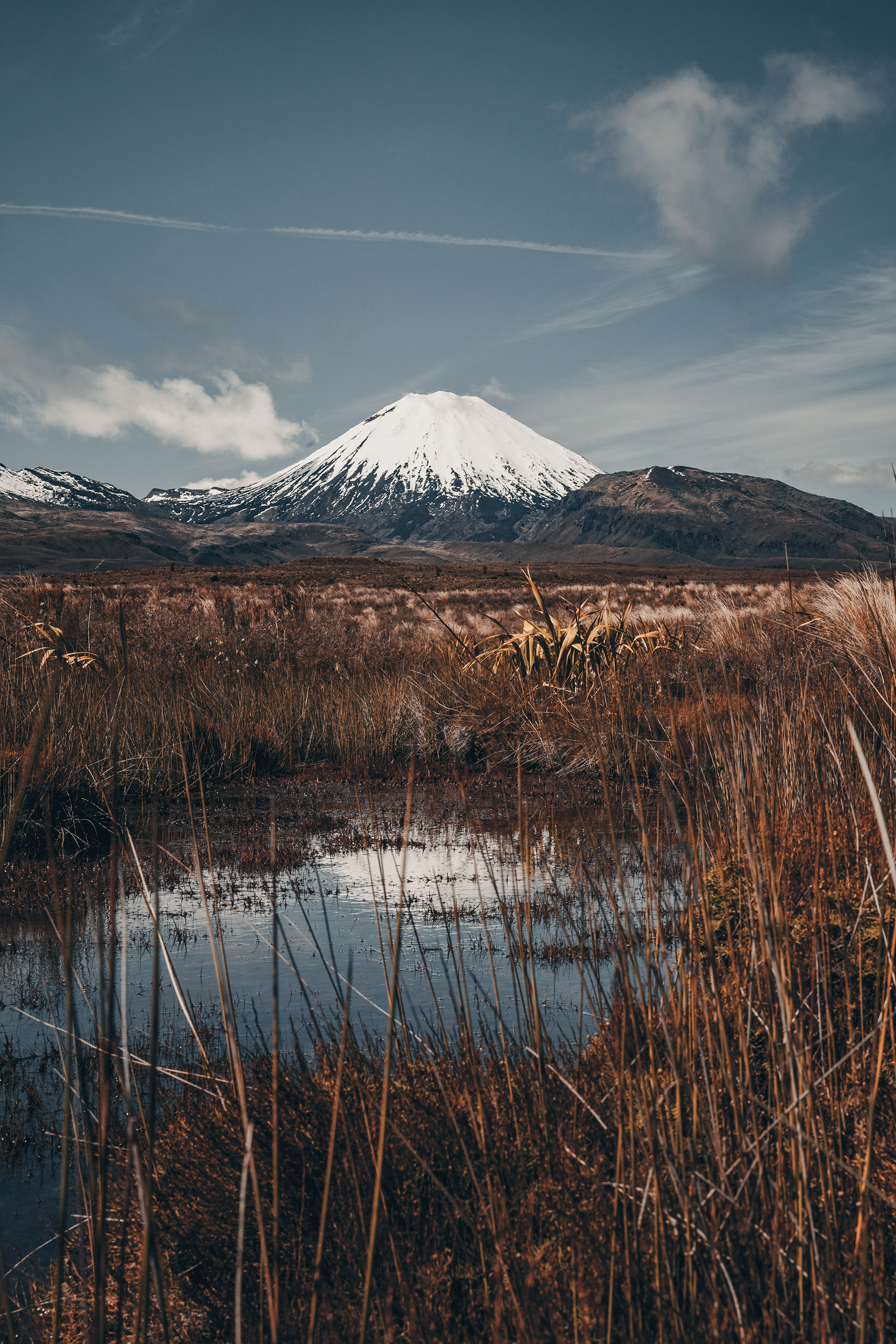
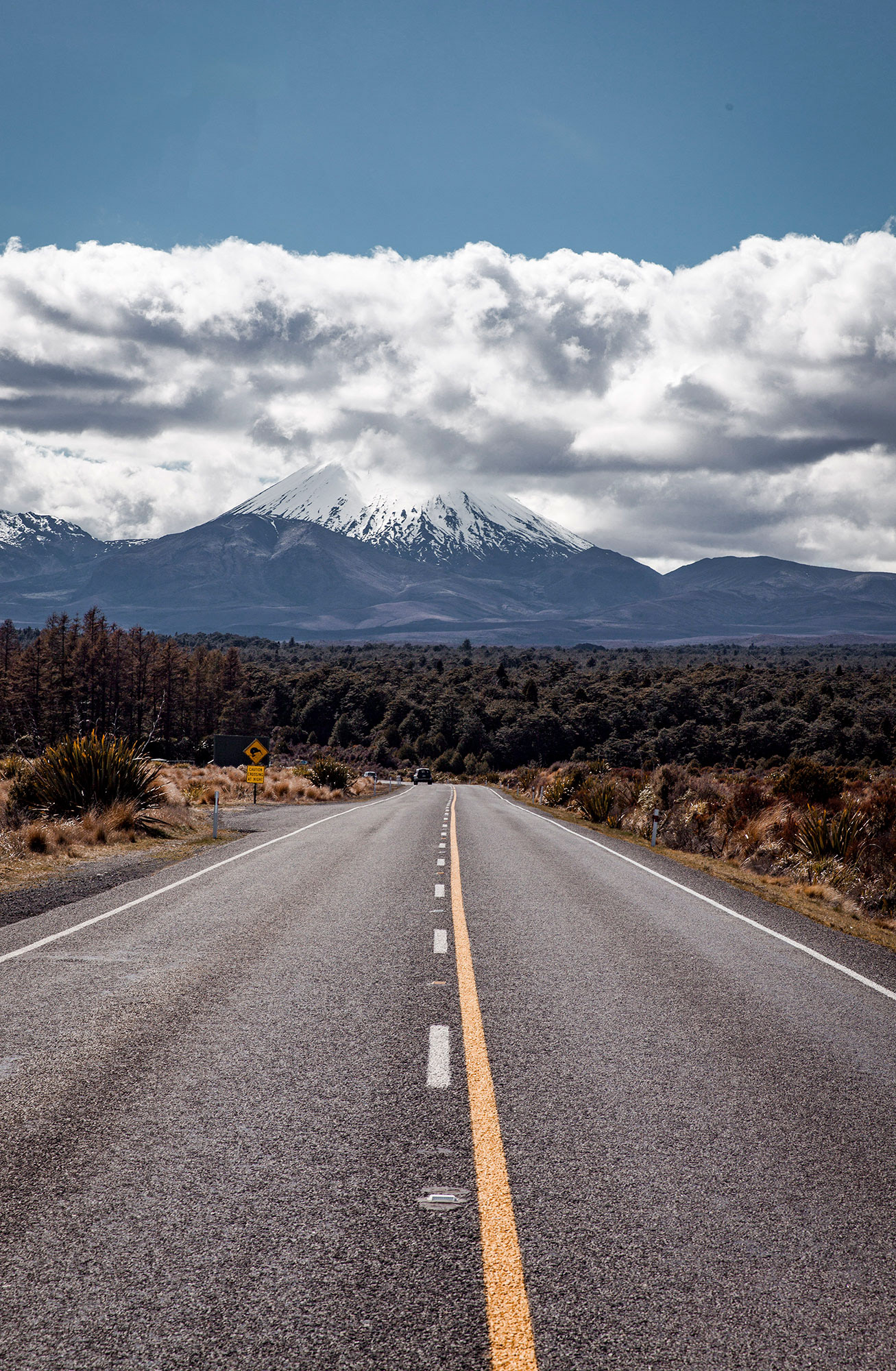
Mt Ngauruhoe
This active stratovolcano is well known among hikers & mountain climbers for its panoramic views.
Taupo is a tourist centre, particularly in the summer, as it offers panoramic views over the lake and to the volcanic mountains of Tongariro National Park to the south. It offers a number of tourist activities including sky diving, jet boating, paragliding, and bungy jumping.
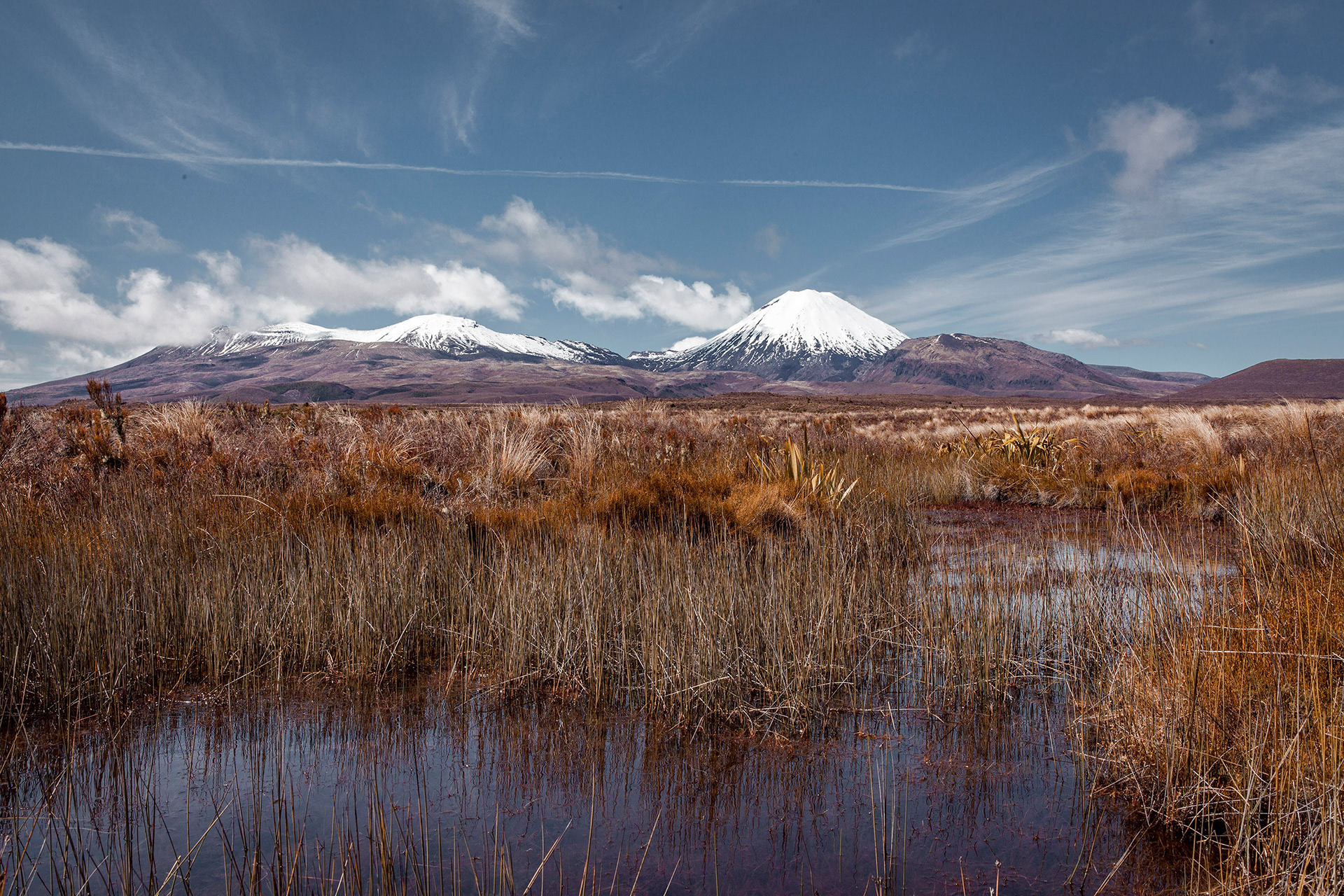
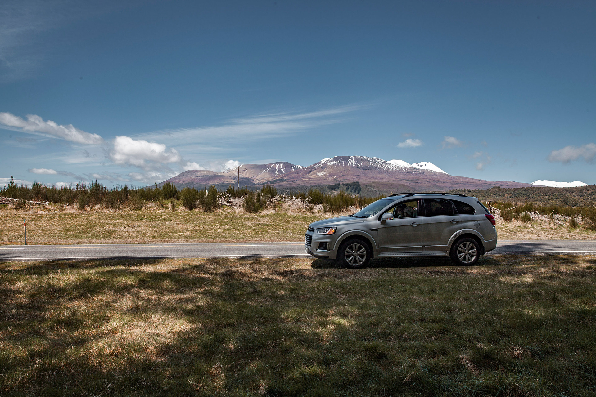
Tongariro National Park


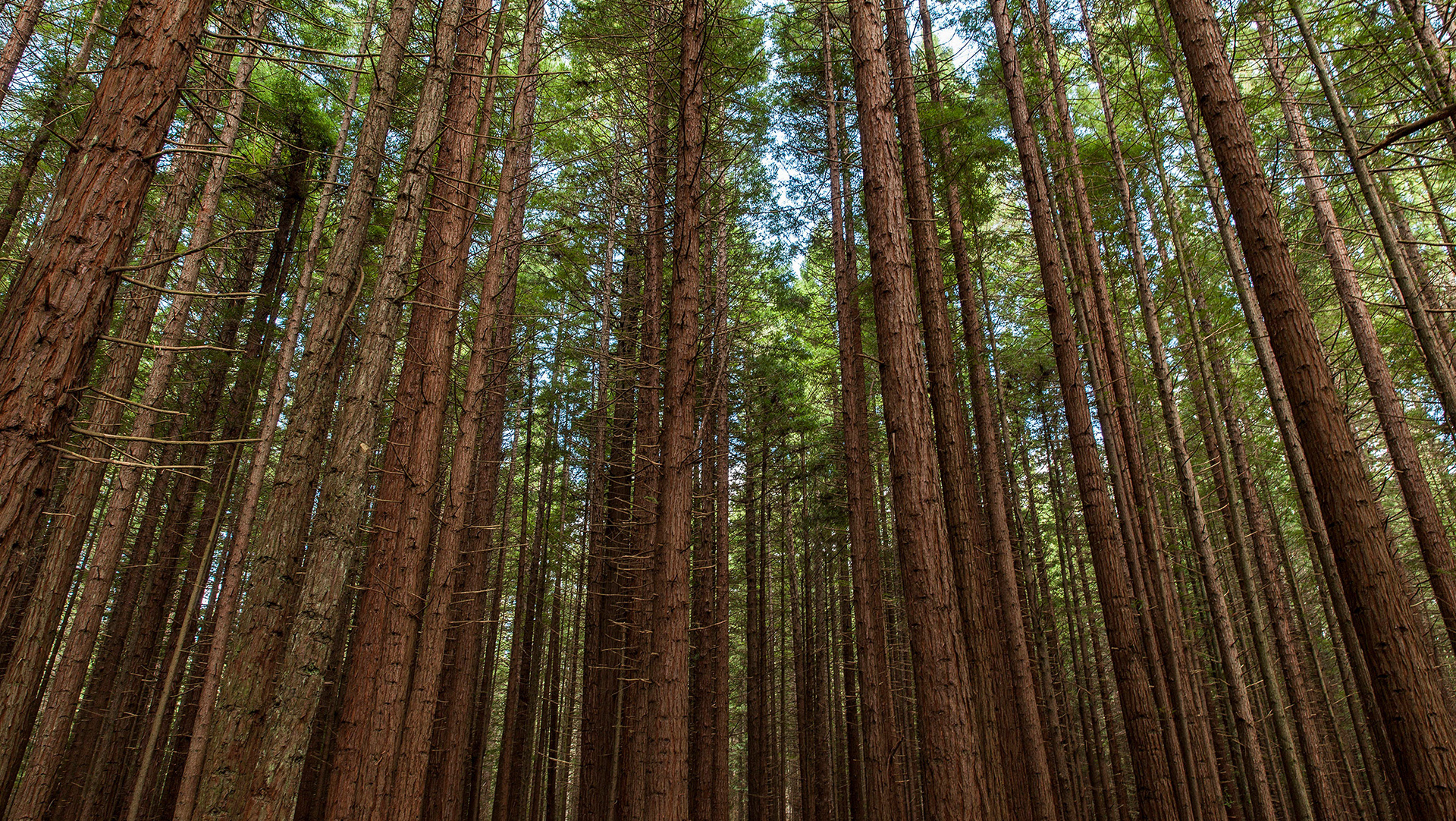
Waihi Scenic Reserve

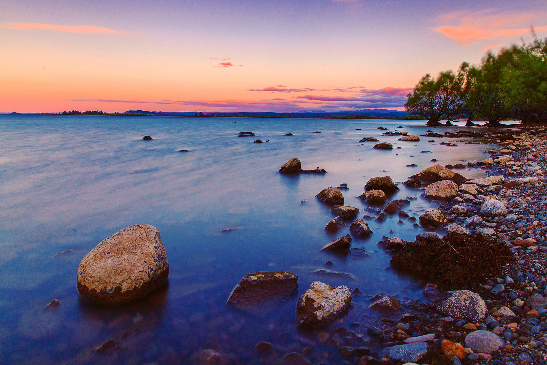
Lake Taupo

Braxmere Hotel

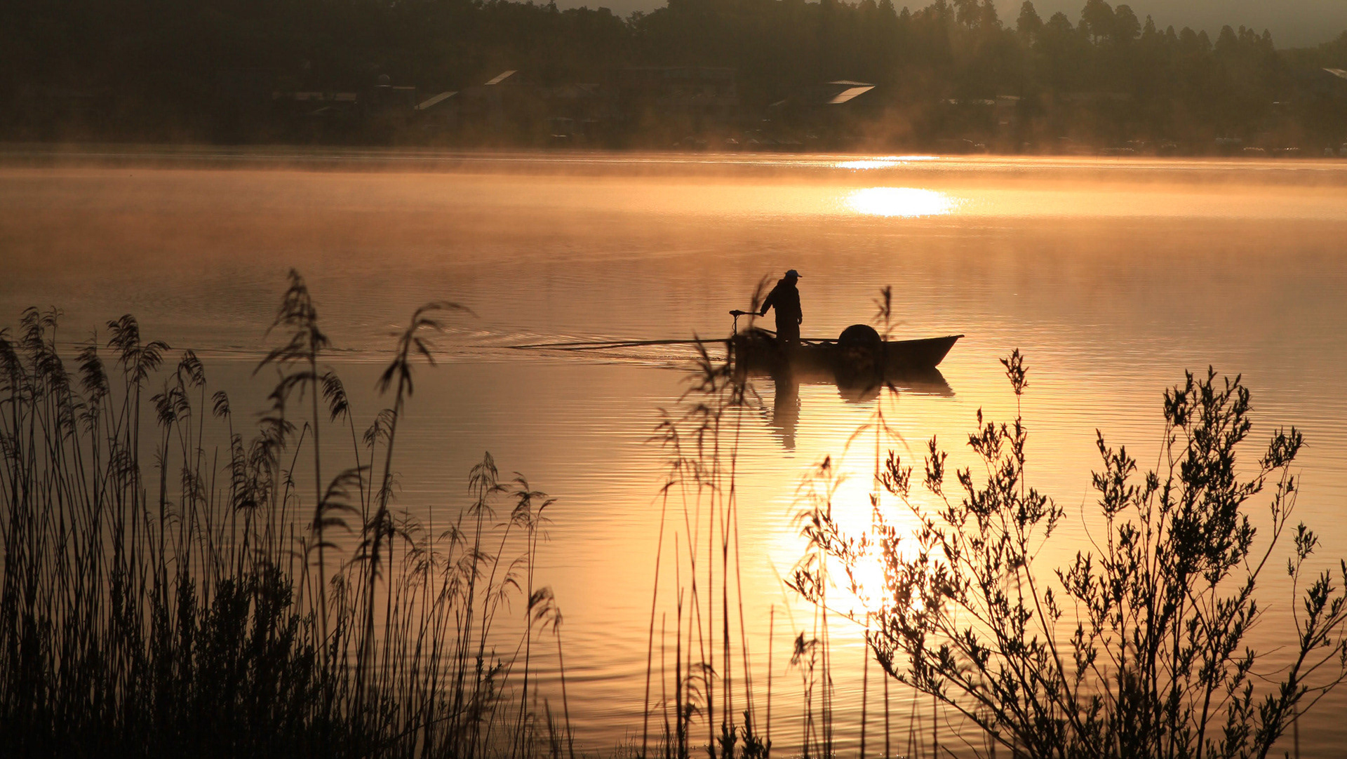
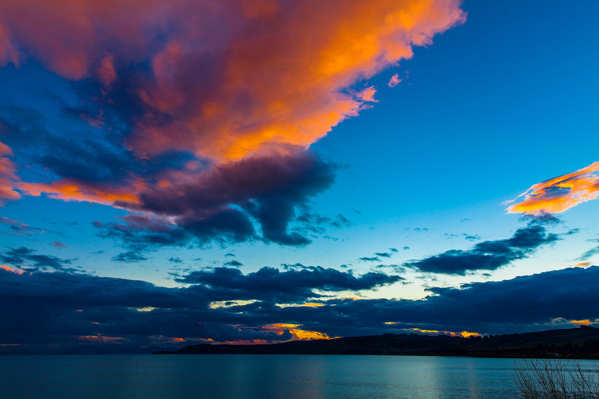
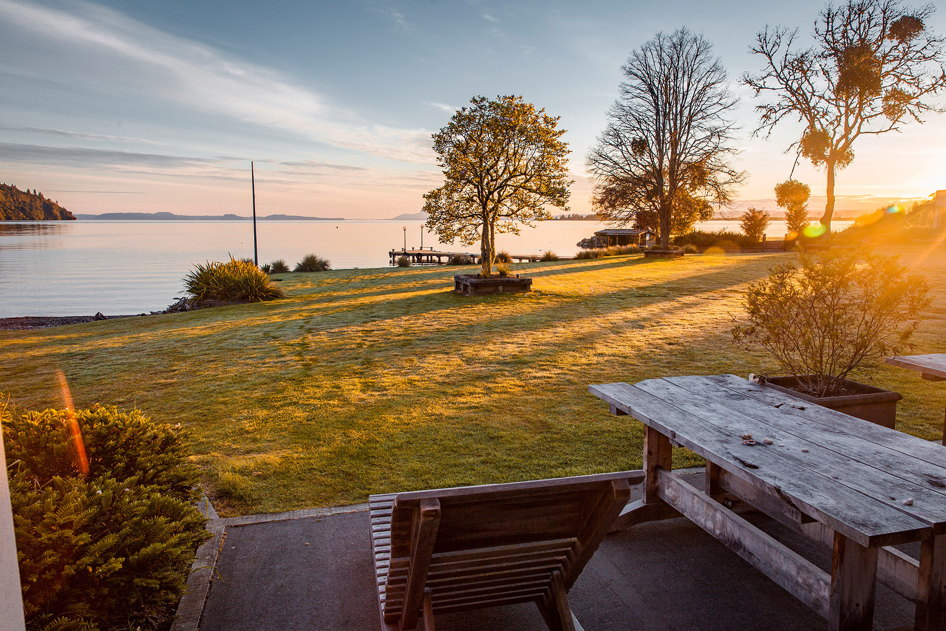
Sunrise on Lake Taupo


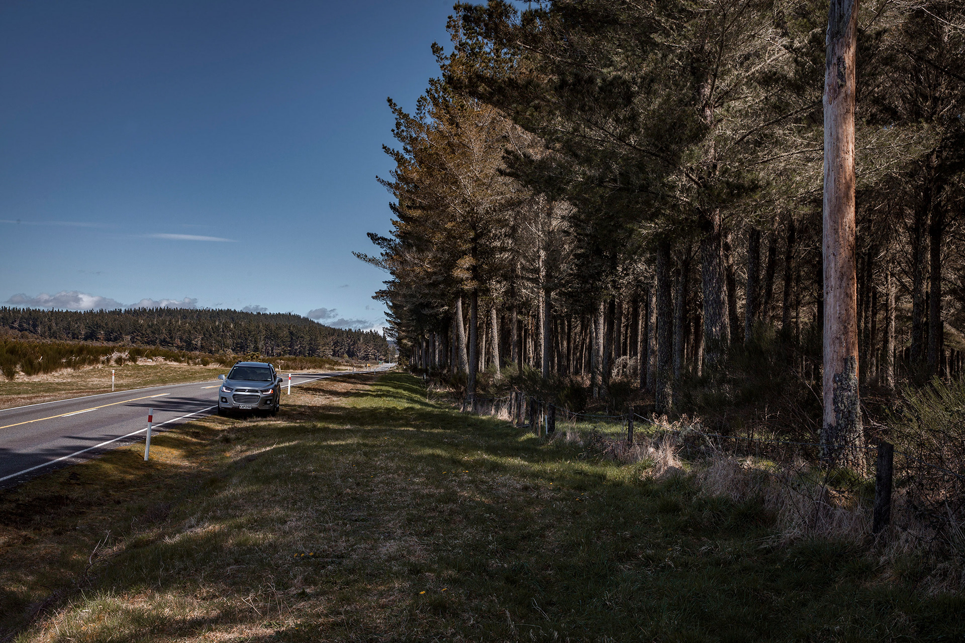
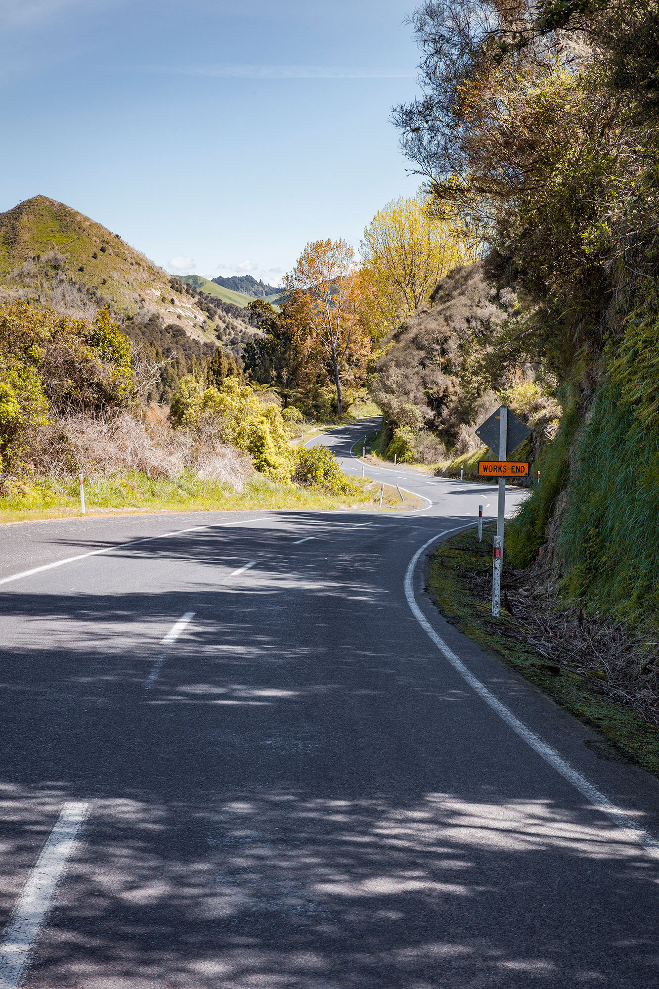
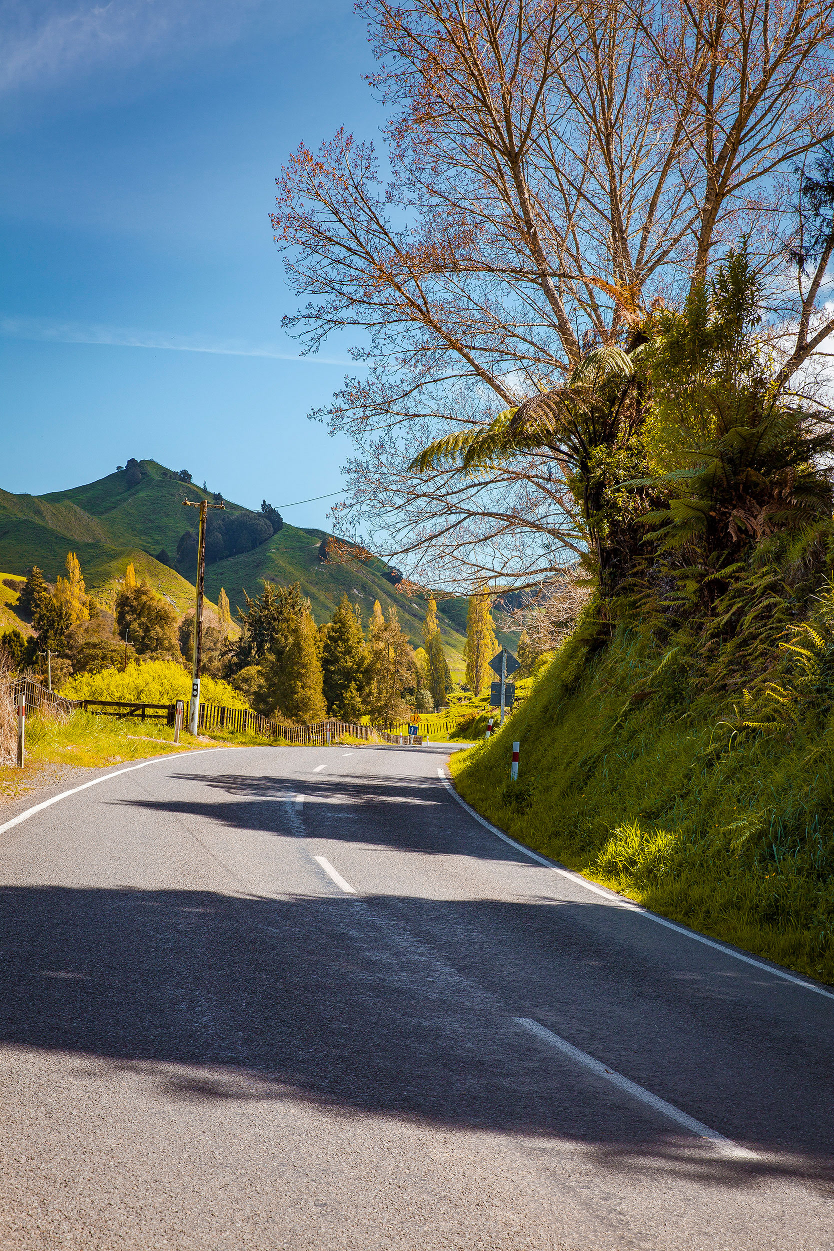
New Zealand State Highway 43 (SH 43), also called the Forgotten World Highway, is a road that runs 148 km from Stratford in Taranaki to Taumarunui in the King Country. It contains the only unsealed portion of the New Zealand state highway network.
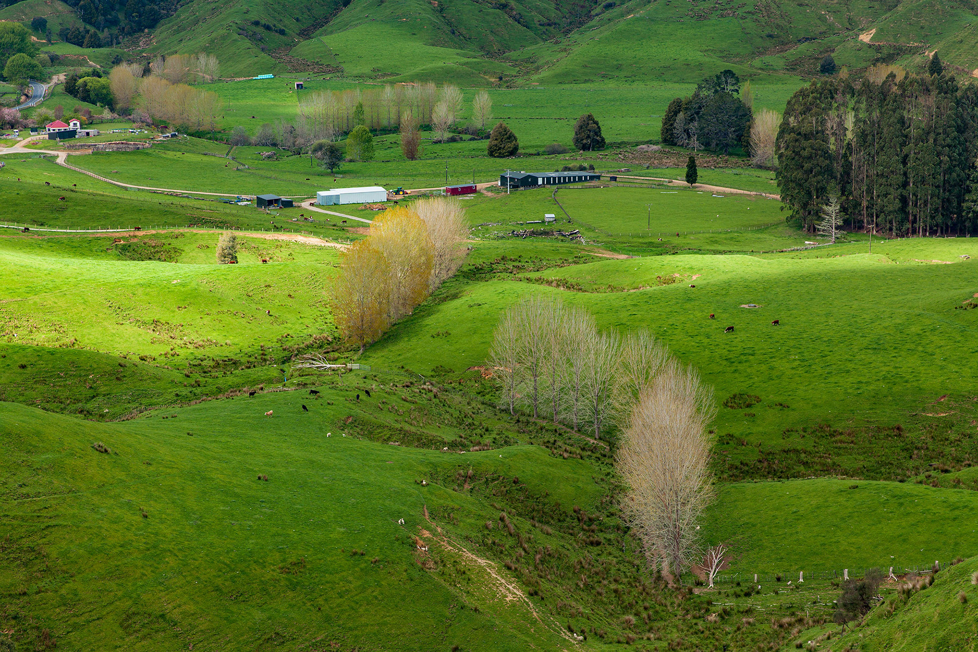
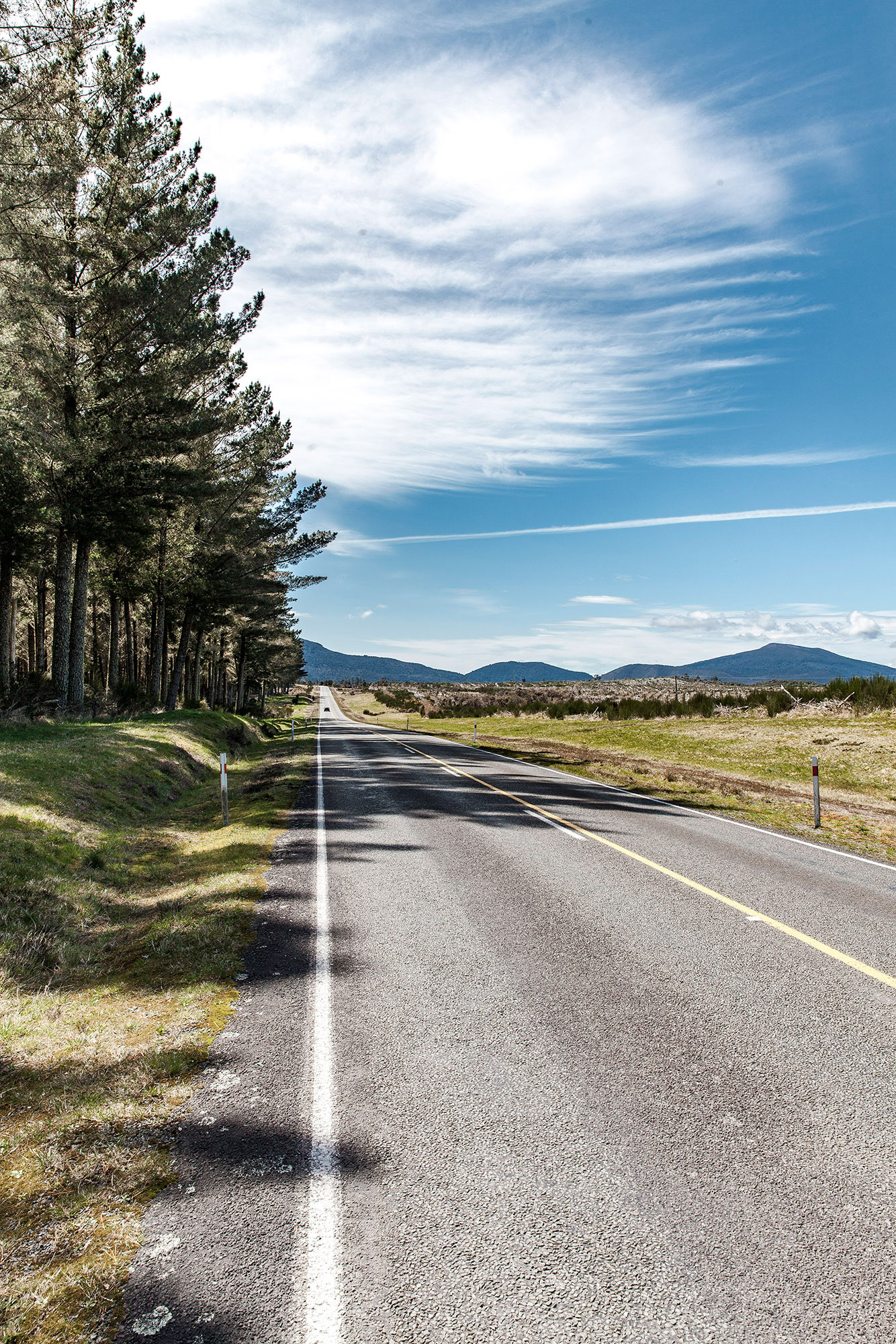
Forgotten World Highway
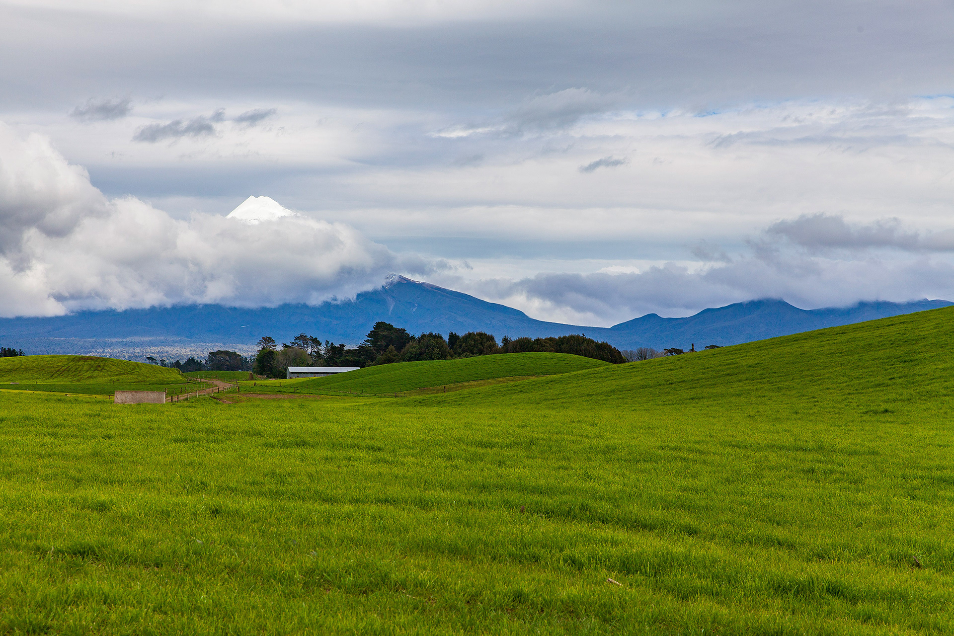
Mount Taranaki
Taranaki is a region of the North Island of New Zealand that is dominated by its volcanic mountain, (Mount) Taranaki, also known as Mount Egmont. The volcano has formed a gently sloping semi-circular coastal plain on its western side and a wide plain of rich farm land in the east to connect it to the rest of the North Island.